

Charts of estonia, vol.1
Vkood: 03100198
MPN: PMT0003
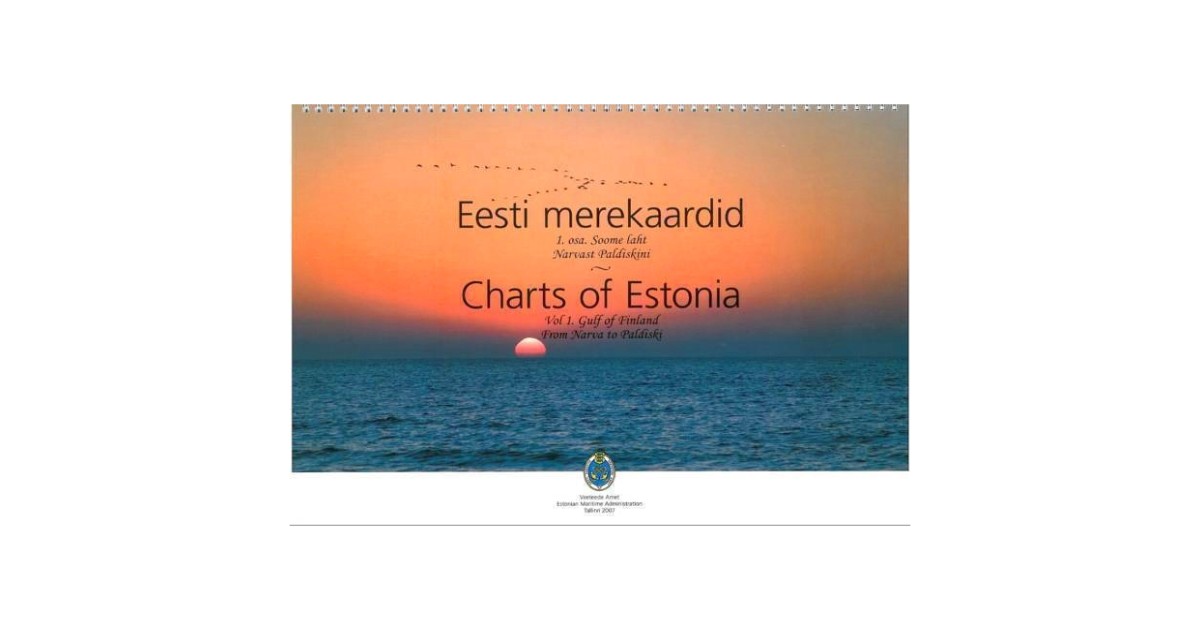
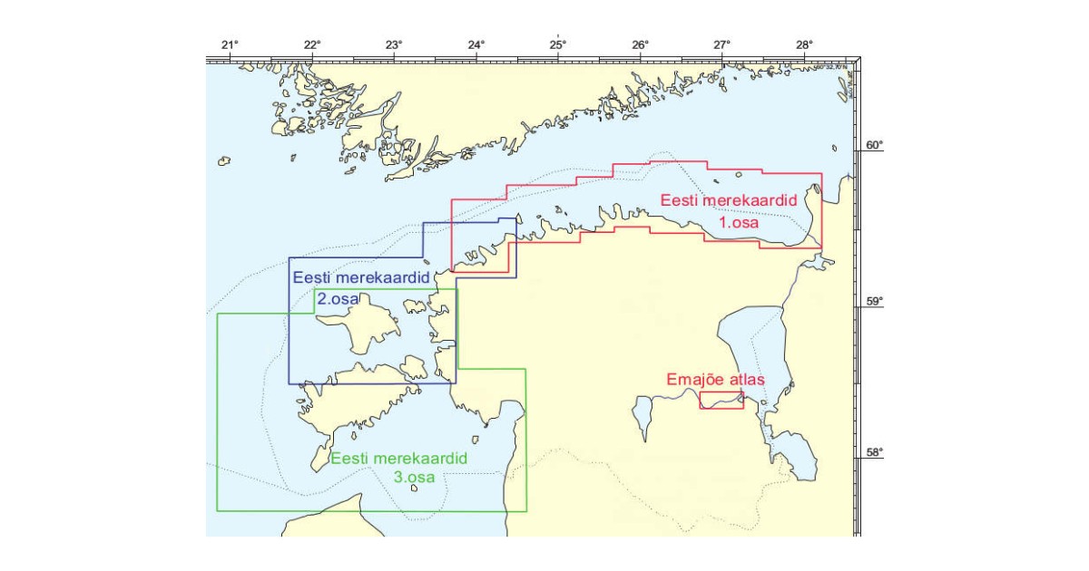
Charts of Estonia compiled by Estonian Maritime Administration can be used by both professional and recreational mariners. It provides the user with the information on the nature of the coast and sea bed, water depths, main aids to navigation and landmarks, port approaches, marine hazards etc. Vol....
Loe rohkem...
Toote andmed
| Üldandmed | |
|---|---|
| Tootekood | 03100198 |
| Tootja kood | PMT0003 |
| Kategooria | Charts |
Product description
Charts of Estonia compiled by Estonian Maritime Administration can be used by both professional and recreational mariners. It provides the user with the information on the nature of the coast and sea bed, water depths, main aids to navigation and landmarks, port approaches, marine hazards etc. Vol. 1 - Finnish Gulf from Narva to Paldiski.
CHARTS ARE CORRECTED IN 2023 !
Notices to Mariners HERE