Charts of finland, folio- c
Vkood: 03101376
MPN: PMT3000C
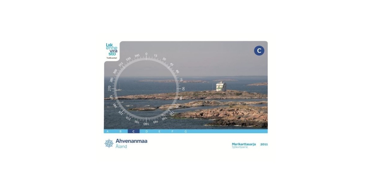
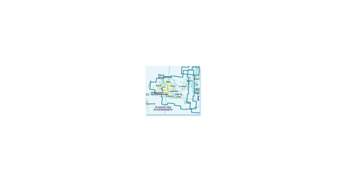
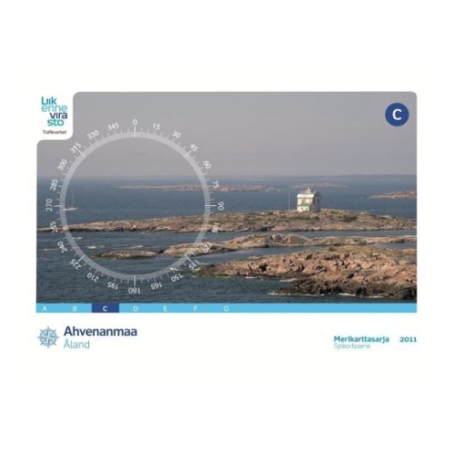
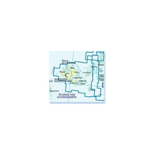
Charts of Finland can be used by both professional and recreational mariners. It provides the user with the information on the nature of the coast and sea bed, water depths, main aids to navigation and landmarks, port approaches, marine hazards etc. Folio C: Aland. Scale 1:50.000, special charts on...
Loe rohkem...
Toote andmed
| Üldandmed | |
|---|---|
| Tootekood | 03101376 |
| Tootja kood | PMT3000C |
| Kategooria | Charts |
Product description
Charts of Finland can be used by both professional and recreational mariners. It provides the user with the information on the nature of the coast and sea bed, water depths, main aids to navigation and landmarks, port approaches, marine hazards etc. Folio C: Aland. Scale 1:50.000, special charts on back sides of sheets 1:25.000 or 1:20.000. Also included a sheet in scale 1:250.000 for passage of the Sea of Aland (between Swedish mainland and the Aland Islands). Mercator projection, WGS 84 coordinates. 50, 20, 10, 5 and 3 meter depth curves. Inner archipelago yachting lanes, guest harbours and other useful information included. Size 46 cm x 34 cm, weight 1,05 kg. 80 pages, ring bound, PVC protective wallet. Published: 2011.