


Navigational charts of estonia no.630 - vilsandi island to ariste bay
Vkood: 03102474
MPN: UM630
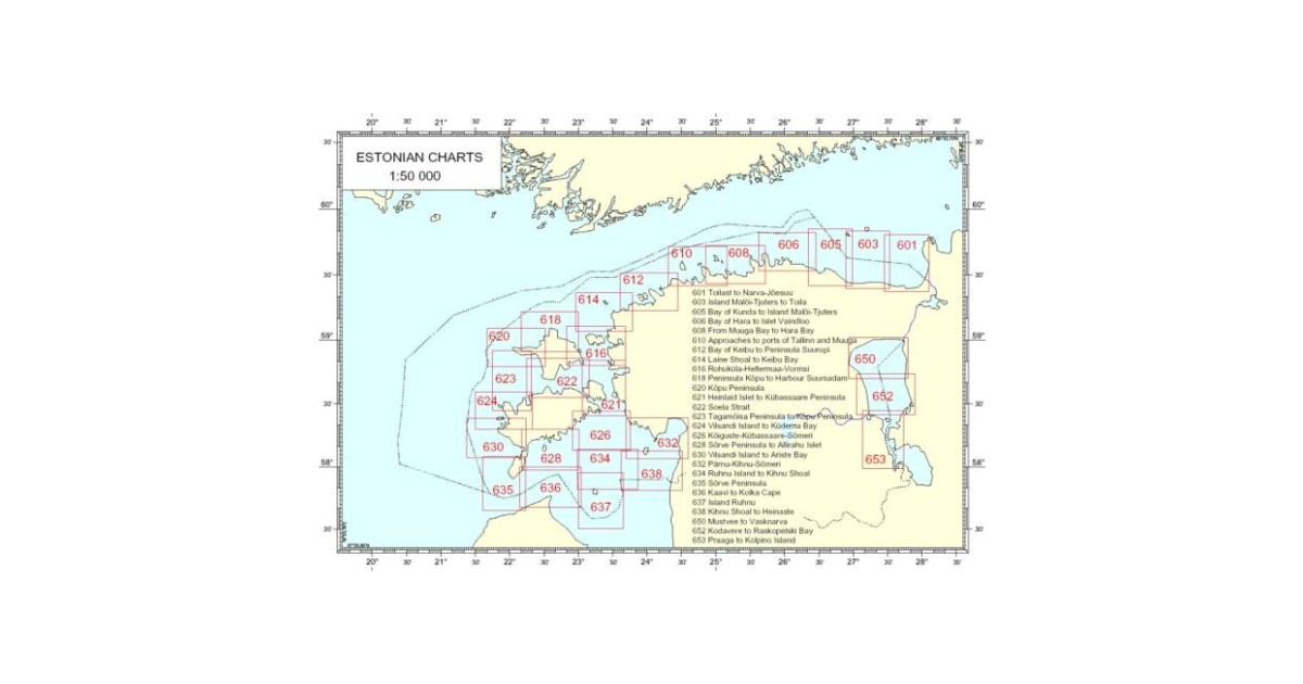
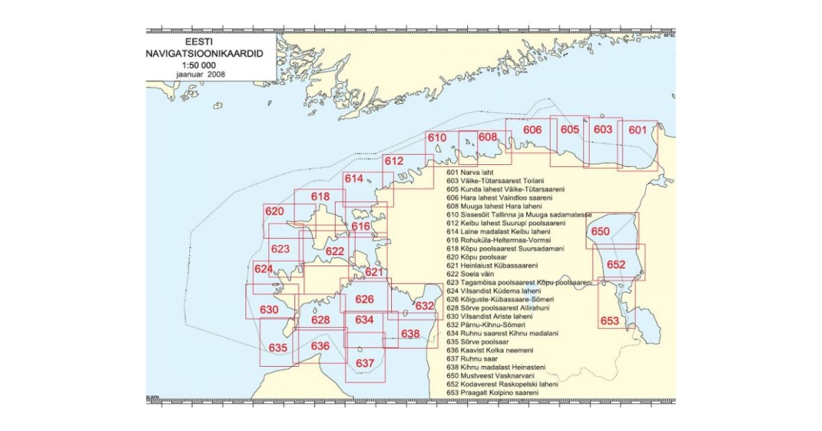
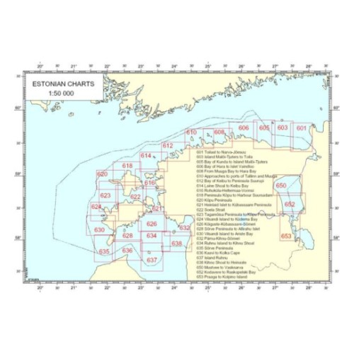
Chart compiled by Estonian Maritime Administration. It provides the user with the information on the nature of the coast and sea bed, water depths, main aids to navigation and landmarks, port approaches, marine hazards etc. Scale 1 : 50 000, Size: 996.2 x 681.0 mm. Vilsandi Island to Ariste Bay.
Loe rohkem...
Toote andmed
| Üldandmed | |
|---|---|
| Tootekood | 03102474 |
| Tootja kood | UM630 |
| Kategooria | Charts |
Product description
Chart compiled by Estonian Maritime Administration. It provides the user with the information on the nature of the coast and sea bed, water depths, main aids to navigation and landmarks, port approaches, marine hazards etc. Scale 1 : 50 000, Size: 996.2 x 681.0 mm. Vilsandi Island to Ariste Bay.